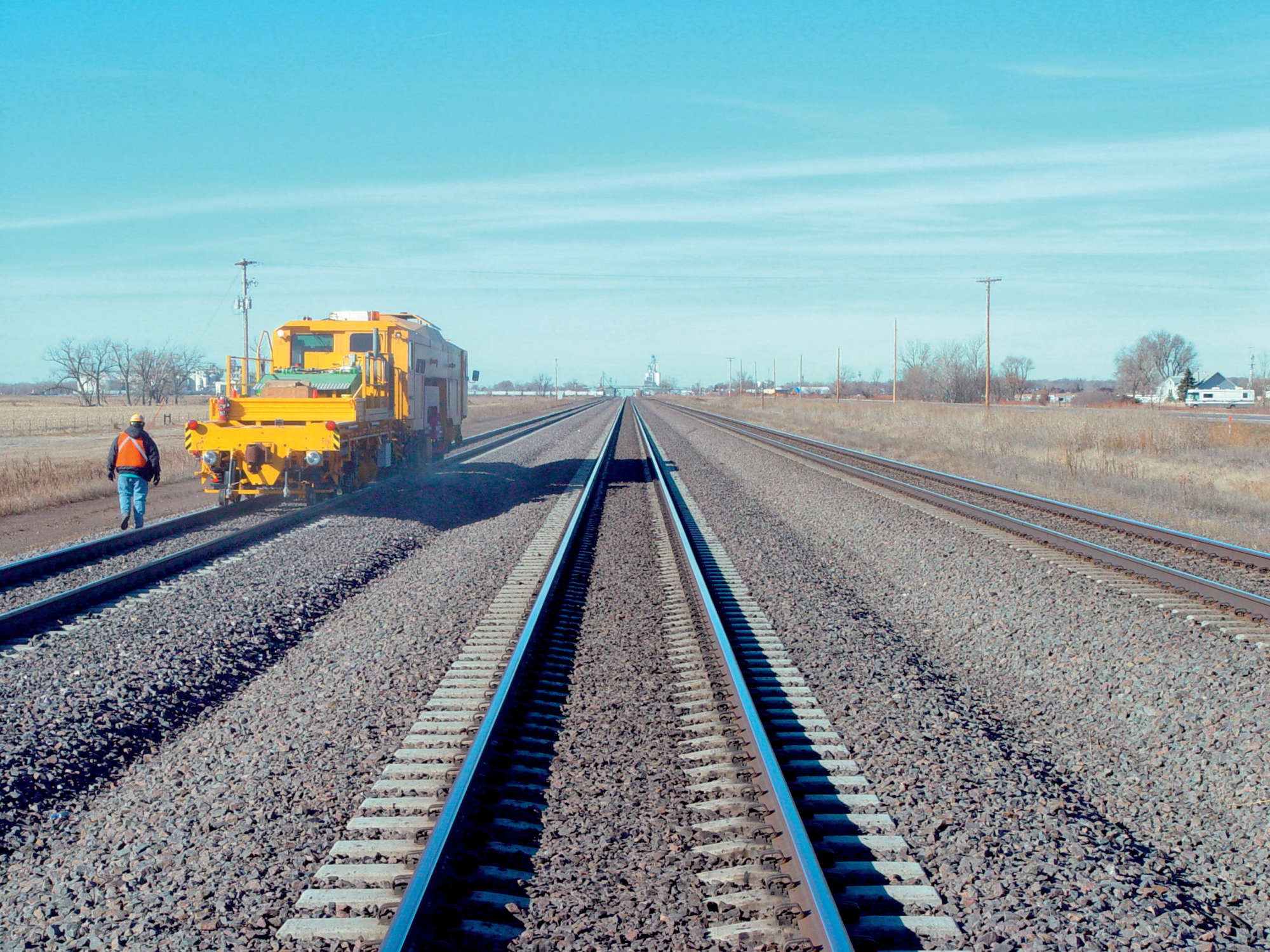
Earlier, the track geometry was checked and measured manually by a surveying gang. However, this method of measuring is time-consuming, inaccurate and cost-intensive.
A more accurate and economical approach is the utilization of special track geometry recording cars which are either self-propelled or towed in train consists. Unlike the manual method, cars made by Plasser & Theurer measure the track geometry under load as the measuring sensors are positioned on bogies under load. As the recording car travels over the track, the measuring system on the recording car calculates the track geometry parameters, displays them in graphical form for the operator, provides information on exceptions and stores the data for filing purposes, later processing or more detailed analysis.
The measurement of track geometry as a space curve is absolutely necessary for a correct assessment of the track condition. A chord measurement alone would not be sufficient for this. The wavelength range, which differs depending on the parameter being measured, varies from the millimeter to the 100 meter range. The amplitude range varies from micrometers to meters. The track recording cars today are available for measuring speeds of up to 300 km/h.
To keep the number of operational hindrances as low as possible, it is wise to simultaneously record those parameters important for the wide variety of maintenance works using one and the same track recording car. Moreover, this combined measurement offers the opportunity to perform correlations between the various track defects and identify any possible connections or mutual influences. For example, a vertical track defect could possibly be connected with an increased wear of the catenary wire. The costs for the operation of a recording car are the same irrespective of whether one or several parameters are measured, the cost-efficiency of the recording car rises with the number of parameters measured per run. Multi-functional track recording cars have the additional benefit that all measured parameters are listed together correctly in real-time for every location.